|
| |
  |
|
|
|
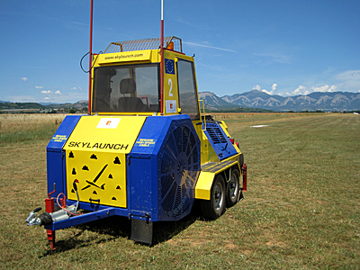
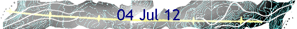
Sisteron Winch
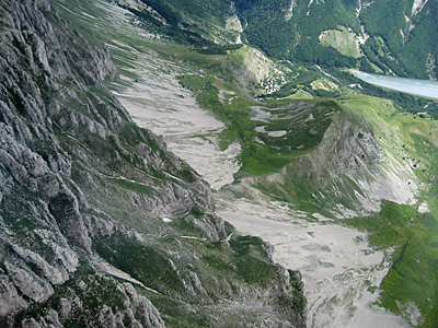
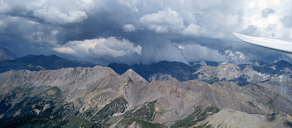
Behind the pic de Bure
|
Today's forecast was for good soaring
conditions with storms later.
As we prepared our gliders for
launching on RW36, it was a little unnerving to watch K13s being
winch-launched, with Gallic joie de vivre, towards us on RW18; there
was a regular frisson of excitement in guessing on which glider the winch parachute
might land.
I had an easy launch today in 245, thanks to Roger in JAC, who went on
ahead to find a couple of knots near Sigoyer. I followed his plan and
was soon climbing at 4 or 5 knots to around 7,000ft.
My idea was to try to reach the Ecrins via the pic de Bure
and the Valgaudemar, though this didn't quite work as well as I had
hoped. I found good climbs on the crete de Selles and the Ceuse to get me to
the pic, and then some delicate ridge soaring just behind the main bulk of the
mountain helped me to around 10,000ft, which was enough to allow a crossing
of the col de
Bayard to the western Ecrins.
|
|
|
Cloud was just off the mountain tops at the mouth of the
Valgaudemar, so I picked my way southwards to find the next valley leading
to the pas de Cavale. Try as I might, I just could not work out which sides
of the mountains the lift was coming from, and it was difficult to arrive
above the tops. After 30 minutes of basically messing around, I let
common-sense take charge and flew along the Gap side of the route royale
until I was able to cross to Clotinailles and then Furan for an easy entry
into the St Crepin valley.
|
|
|
|
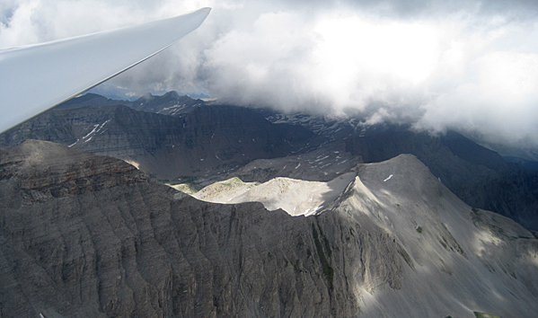
Stormy Queyras
|
|
|
In the middle of the valley, about 5km north
of St Crepin airfield, I found a couple of knots due to some convergence,
and then carried on to the tete de Peyron on the east side of the valley.
Storm clouds had built up on the Italian edge of the Queyras and the route
to the north looked equally poor. Looking back at the pas de Cavale I saw
that the clouds I had difficulty with on entering the Ecrins had now grown
massively and were dumping rain, so I decided a tactical retreat would
be in order.
|
|
|
|
I followed the traditional route back south: Furan, Clotinailles and, after
losing 1,500ft getting around the corner, Guillaume, which at least had the
good manners to provide me with 5 knots of thermodynamic lift to give me
9,500ft and a sense of comfort.
I crossed the lac de Serre-Poncon to Morgon and thence to
Dormillouse, which again was working well.
|
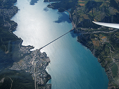
Savigne le lac
|
|
|
|
Next problem: two storm cells, one apparently in the Sisteron
valley, were dumping rain and advancing northwards to block my route home. I
could see sunlight and clear air towards the Cheval Blanc, so I continued
along the parcours as far as la Blanche, where I peeled off southwards to
avoid some low cloud that had formed over the Trois Eveches. After a
light splattering of large raindrops I was back in dry air with a massive
cloud-street ahead of me pointing all the way to Puismosson. Looking back, I
could see that the northern section of the parcours was now totally in the
dark, so my exit was timely.
|
|
|
|
Storm edge on the parcours
|
|
|
|
At the lac Ste Croix, a convergence had set
up along the entire length of the lake, with a curtain of cloud hanging from
the eastern edge of an extended shelf of flat-bottomed cumulus. I followed
this as far as the three lakes at the south of Ste Croix, and then headed
for home, only pausing above the temporary restricted zone at Sisteron to
see whether any NOTAMed drones were in evidence.
|
|
|
|
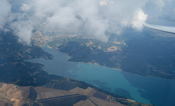
Convergence at the lac Ste Croixe
|
|
|
|
After landing, a quick derig was followed by
club aperitifs and a meal in Sisteron town. All in
all, not too bad a day considering that the weather in the Alps has been
recently described as not particularly good...
|
|
|
| |
|