|
| |
|
 
|
|
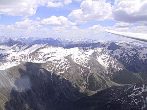
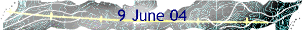
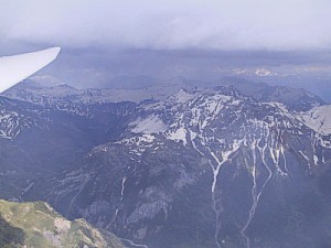
North of the col de Vars
|
Two's Company
Ariane and I decided to
pair-fly today. After her long flight of the previous day she was not too
keen on another huge flight; I decided to see how the weather looked to
the north before leading her too far.
Again the cloudbase was
high and (unusually) we had little difficulty in meeting up early in the
flight. This meant that we were quickly on our way and within the hour we
were already passing the col de Vars, south of St Crepin. |
| We
progressed rapidly over the Queyras, passing the col d'Izoard and then
onto the Plampinet valley and the Frejus col where we turned east along
the ridges towards the airfield of Sollieres, our safety airfield in this
unlandable valley. We were operating at a healthy 12,500ft so had no
worries about landing out, at least for now. As we approached the col du
Carro, I radioed Ariane with the choice; "Mont Blanc or the
Matterhorn?" She hesitated for half a second and, forgetting that
this was not supposed to be a long flight, said "Mont Blanc!".
And so, slipping over the col, she was into new solo territory. |
|
|
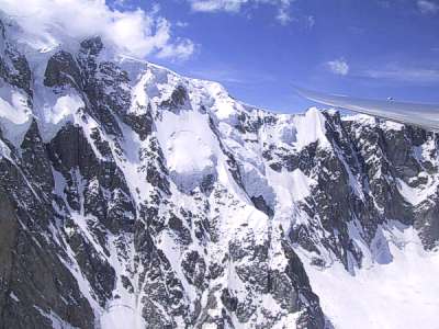
Mont Blanc
|
The great advantage of using the col du
Carro to reach the Mont Blanc is that once over the col, Aosta airfield is only 30
or 40km away while in the other direction Sollieres is about the same
distance, each of them a far better option than the recommended fields in
the Landout Handbook. Very soon we were jumping across the Aosta valley
and under the 14,000ft cloudbase of the Mont Blanc massif. |
| This
was a big moment for Ariane, as it had been for me the first time I had
flown here. We spent a few minutes circling in the bowl to the west of the
peak, slowly climbing up the face until we decided that it was time to go
- after all, we had nearly 200km left to get home. |
|
|
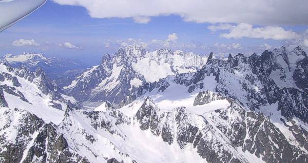
Passing the Grandes Jorasses
|
|
| Retracing
our route we crossed 2000ft above the col du Carro into the Sollieres
valley, and then over the col d'Etache to reach the St Crepin valley. The
way ahead now looked daunting, with a large shower cloud covering all of
the Ecrins. The only option was to fly into the darkness and hope that the
rocks were still giving off enough heat. We managed to find some weak climbs and what
precipitation there was fell as snow. After posting ourselves through the
letter-box of the pas de Cavale, we were home and dry. Ariane's
beaming face after landing said it all. |
Picking a route
|
| See
here for John's
and Ariane's
logger files - good for maggot racing. |
|