|
| |
| Ventoux
Another showery north-westerly was on
today's menu. I decided to explore the Lure-Ventoux mountain, using ridge
lift and thermals to get me to Mont Ventoux. To the west the ridge fell
away into the Rhone valley but further progress was discouraged by a thick
sheet of 8/8ths and no discernable cumulus. I made my way back to the
Sisteron valley to find that conditions to the north had now opened up. |
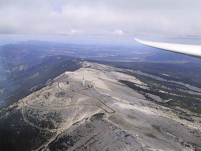
Mont Ventoux
|
|
|
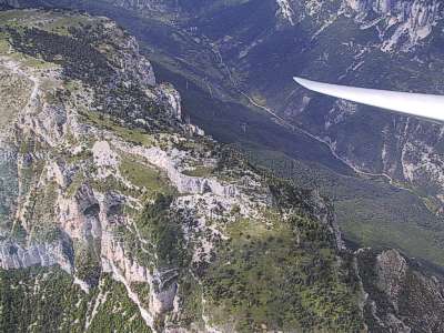
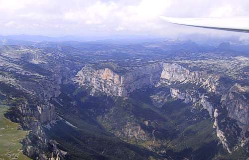
Glandasse
|
Vercors
The Vercors is a north/south plateau
that reaches an altitude of 6500ft and extends from east of Die to
Grenoble. It falls away towards the Rhone valley to the west as a series
of north/south fingers, each of which is soarable in a north-westerly
wind. I made a brief foray past the col de Rousset as far as the But St
Genix, to the north west of the town of Die, before calling it a day and
returning home. Total distance for the day was 319km. |
|
|
Vercors
|
|