      |
Photographs
from our expedition
|
|
|

|
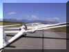 |
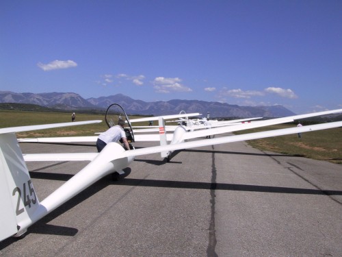
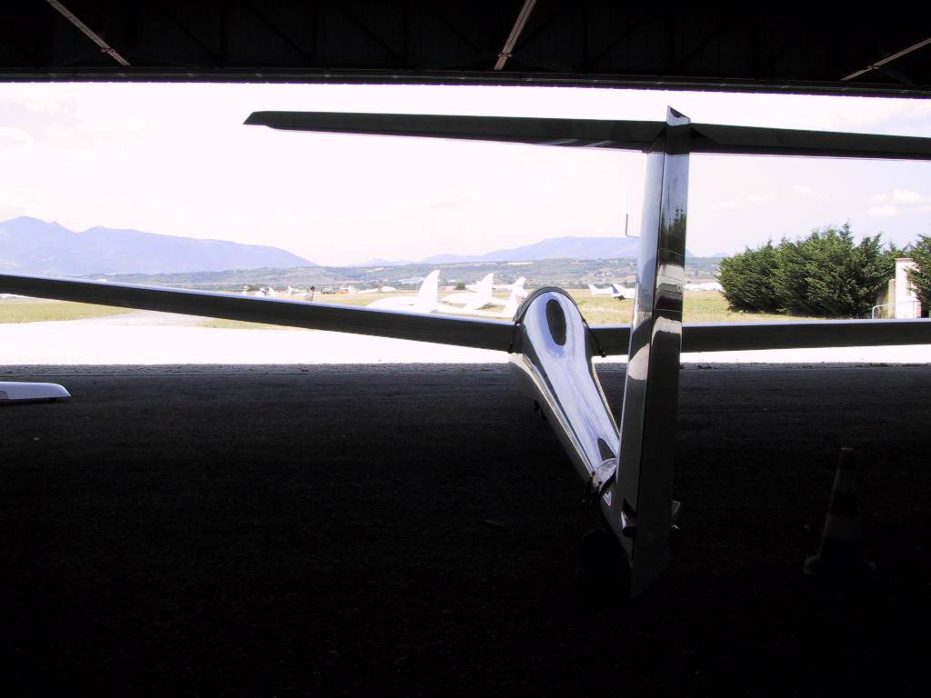
On
the grid at Sisteron, ready to launch on runway 36. |
|
 |
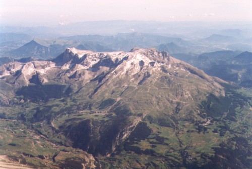
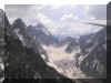
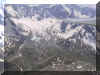
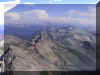
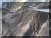
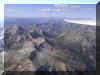
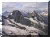
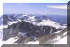
Pic
de Bure (9000ft) looking south, from about 15,000ft of north-westerly
wave. |
 |
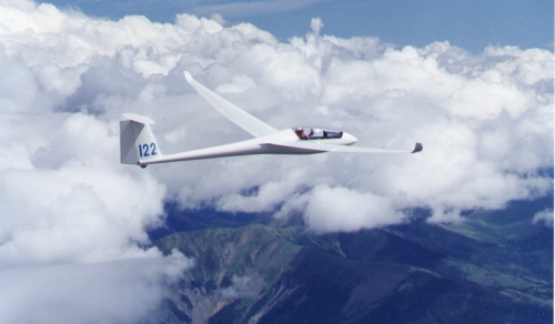
Ariane flying her
LS6 in wave over l'Oratoire, near la Motte du Caire. |
|
 |
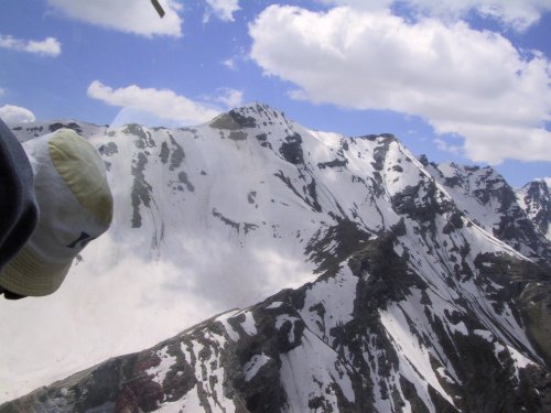
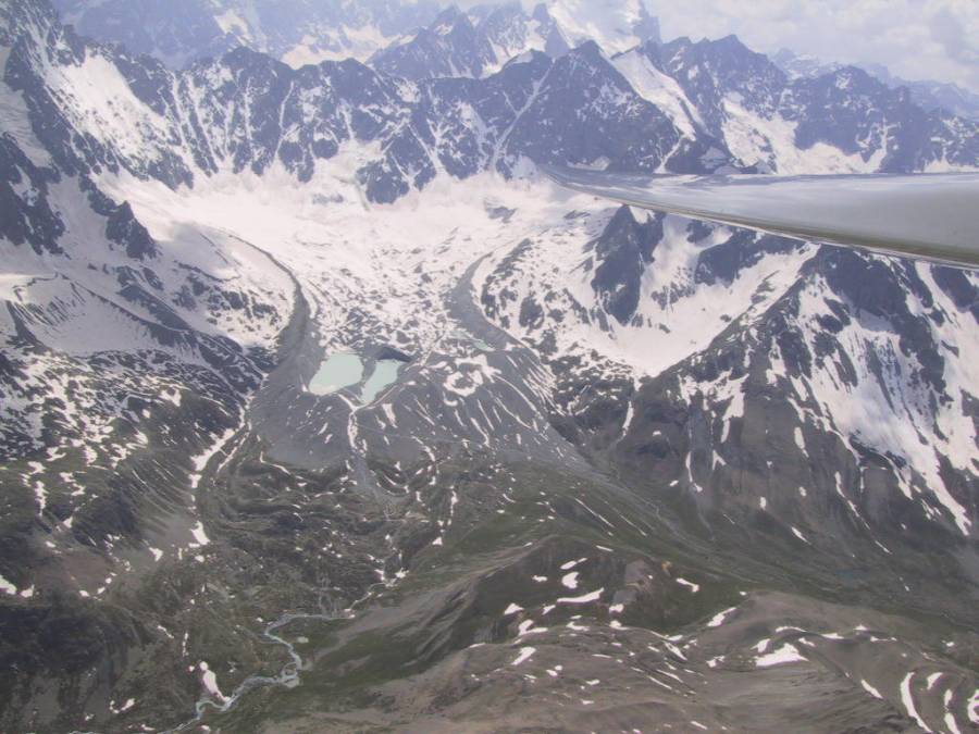
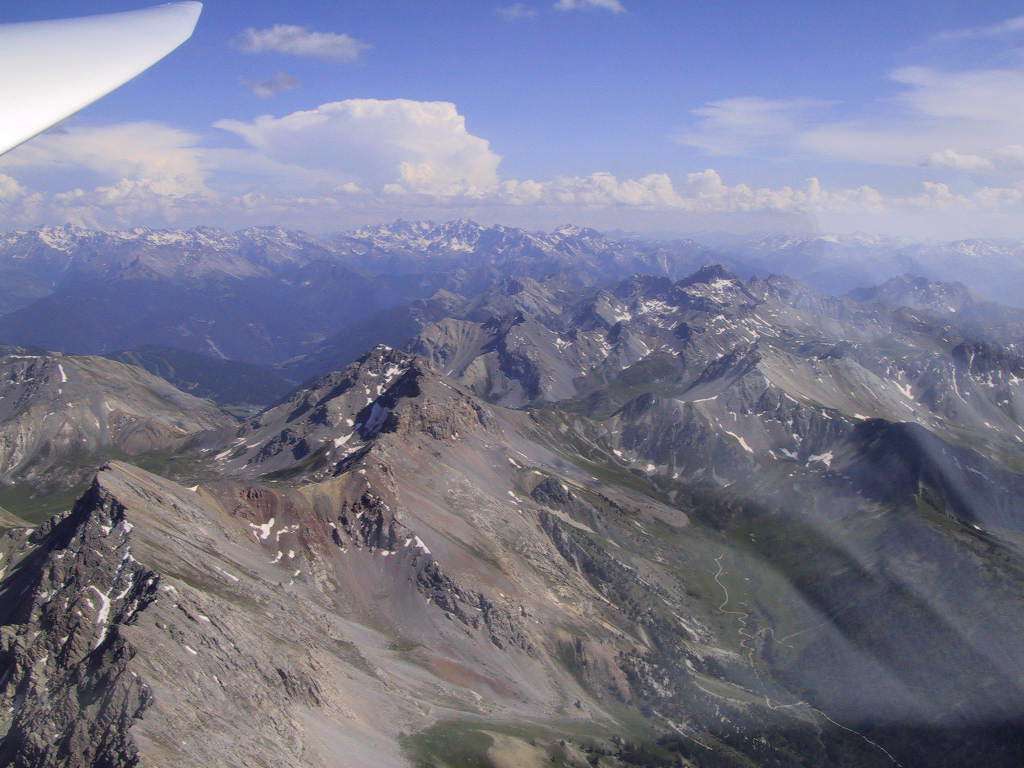
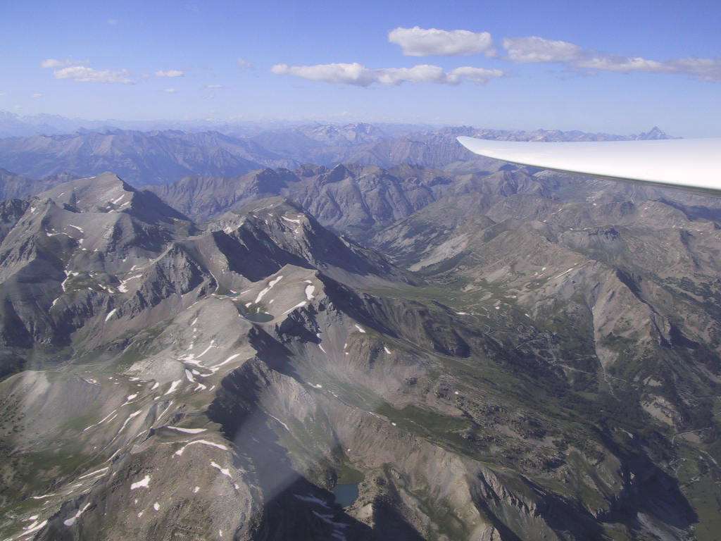
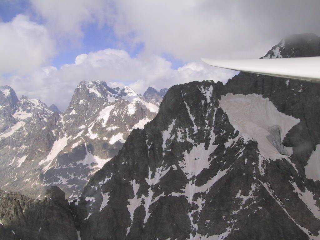
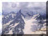
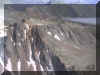
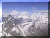
A
pilot's eye view of the Ecrins. Cloudbase here about 12,000ft. |
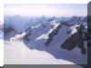 |
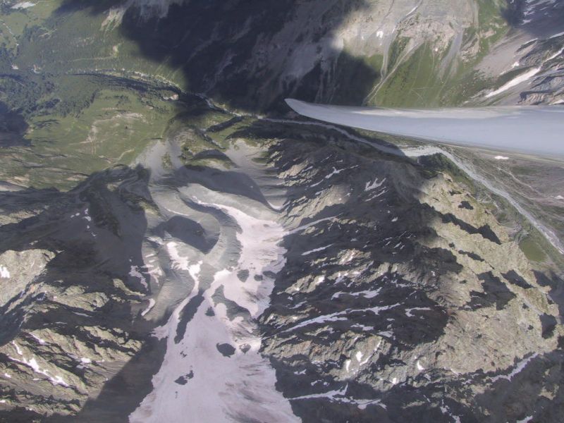
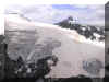
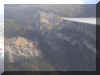
Into the Glacier
Blanc, below the Barré des Ecrins, near Briançon. |
|
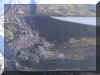 |
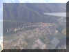
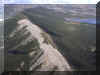
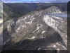
Sisteron Town. |
 |
Coming home:
evening view to the west of Charbre. |
|
 |
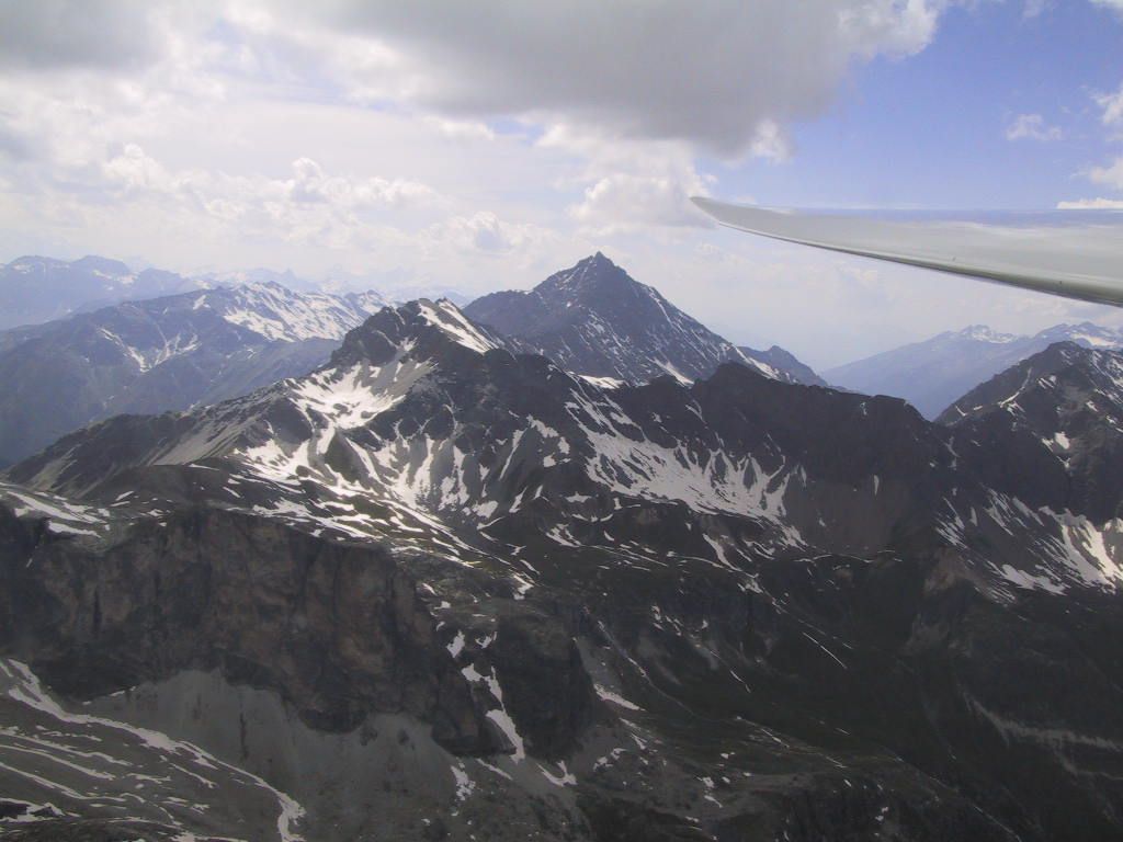
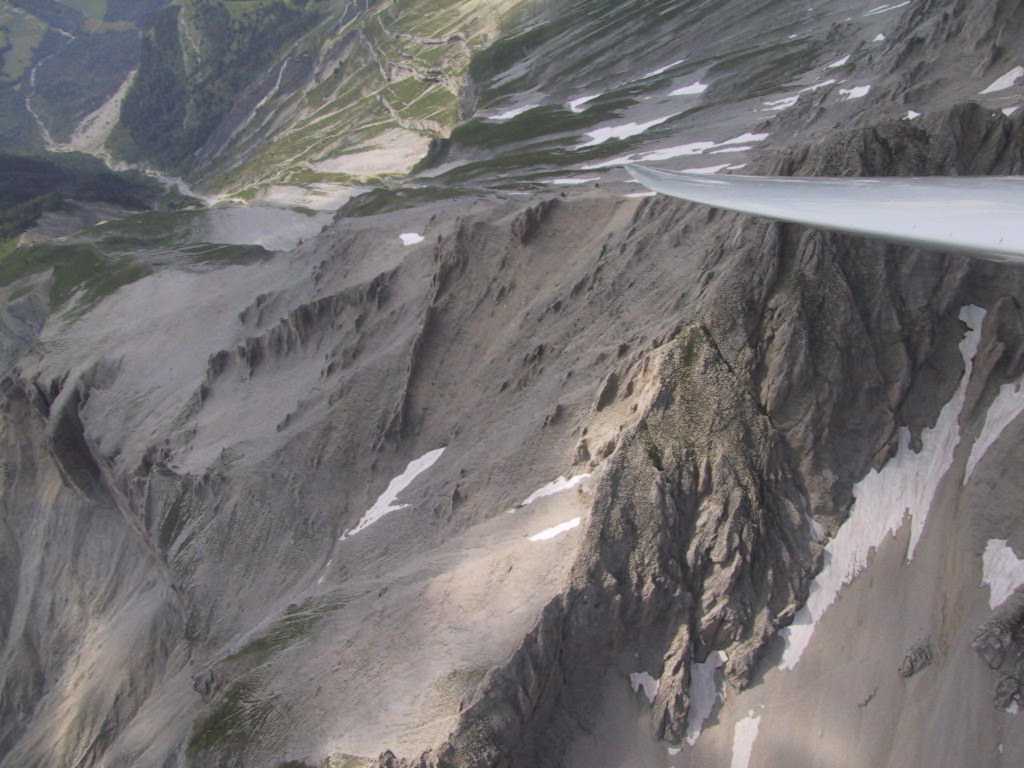
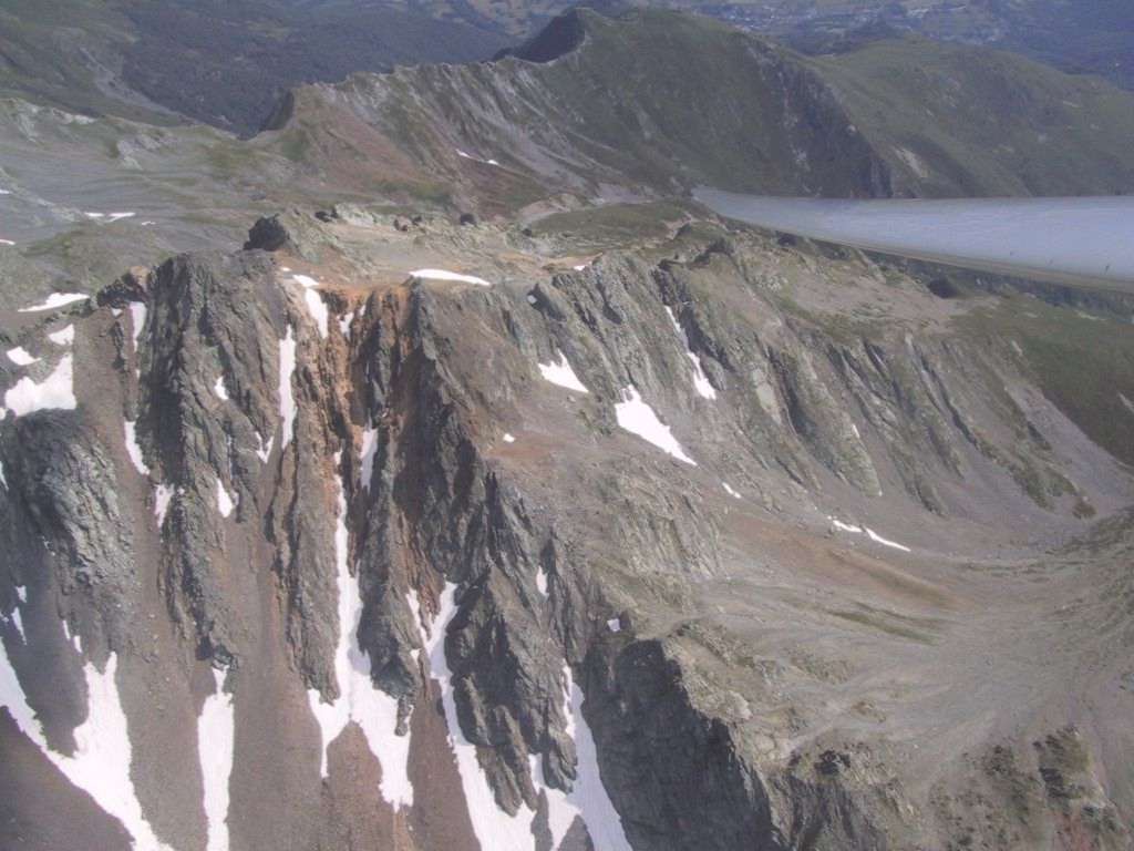
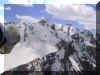
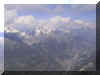
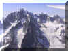
Near Mont Pelvoux,
from about 11,000ft. |
 |
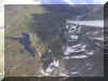
To the north of
the Glacier Blanc. |
|
 |
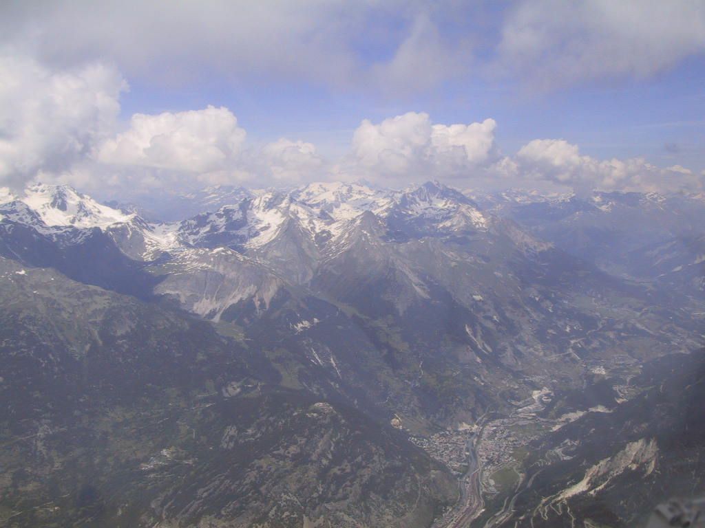
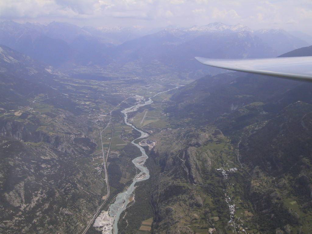
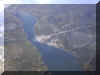
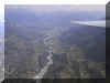
The Modane
valley. |
 |
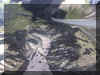
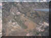
Les Crots, an
approved outlanding field at the lac de Serre-Ponçon, centre of
picture. |
|
 |
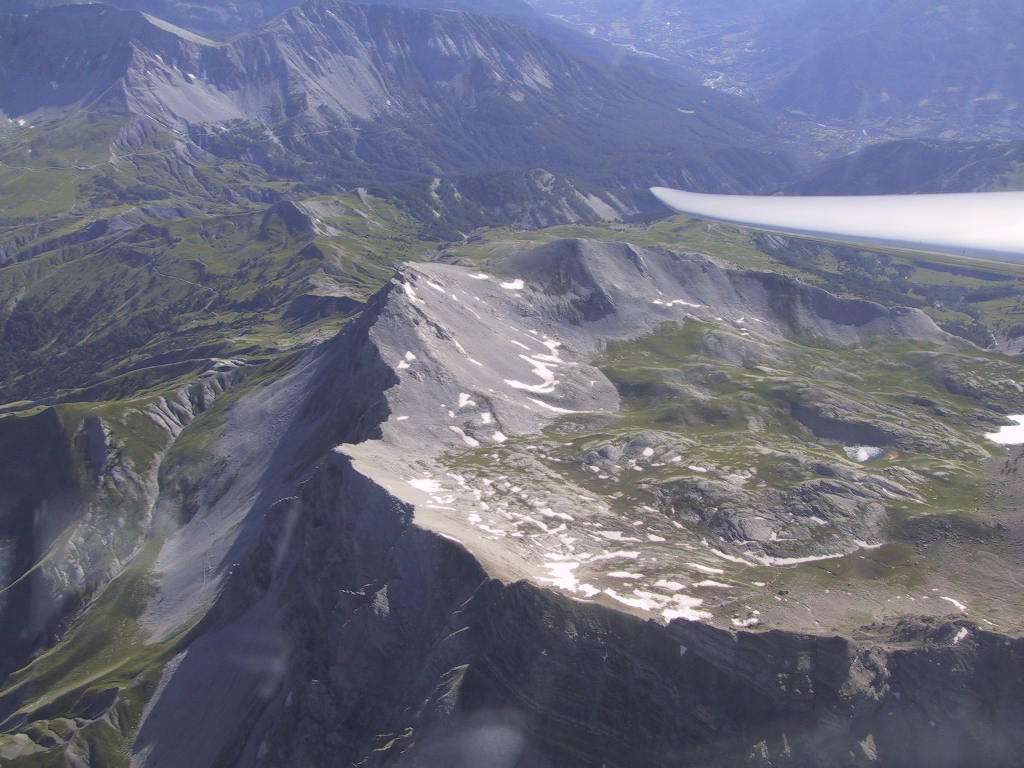
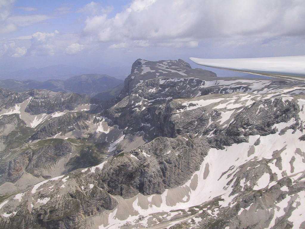
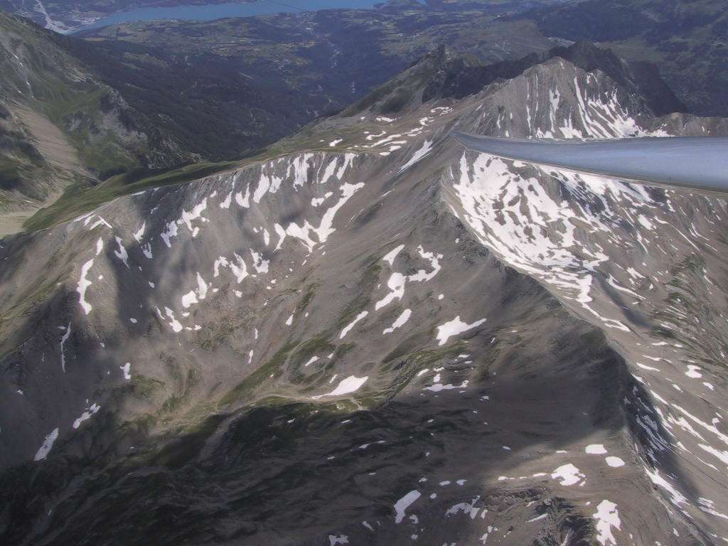
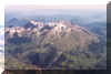
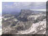
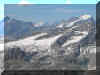
Snow-capped peaks
on the Valgaudemar. |
 |
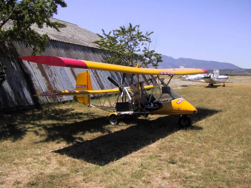
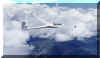
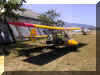
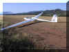
A Janus, ready to
go... |
|
 |
Over the Queyras
mountains, north-east of St Crepin. |
 |
Soaring near
Bardonecchia. |
|
 |
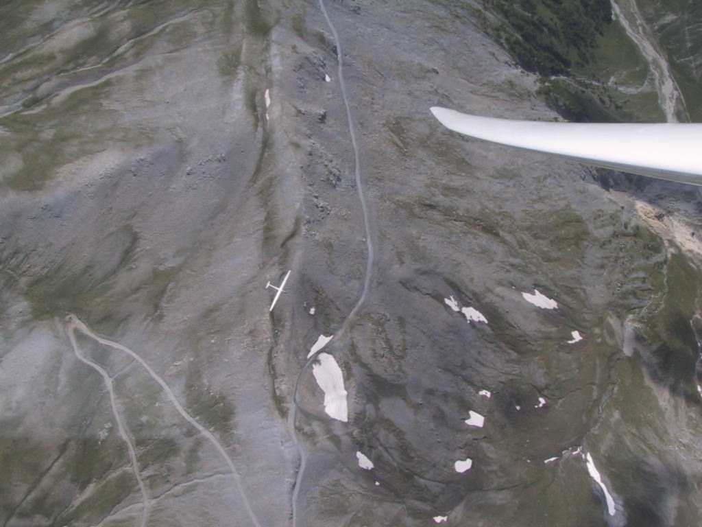
In the
Valgaudemar. |
 |
Obiou, north of
the pic de Bure. |
|
 |
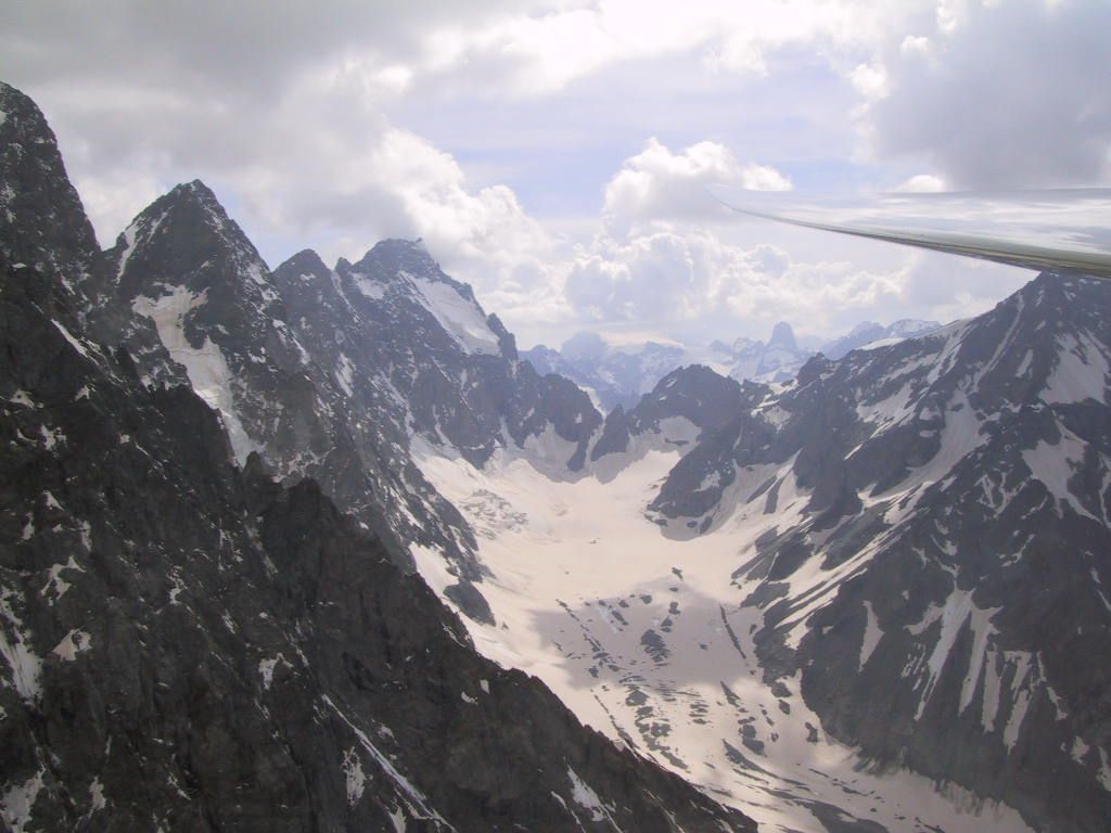
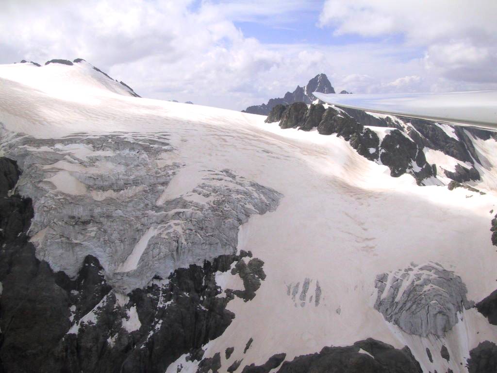
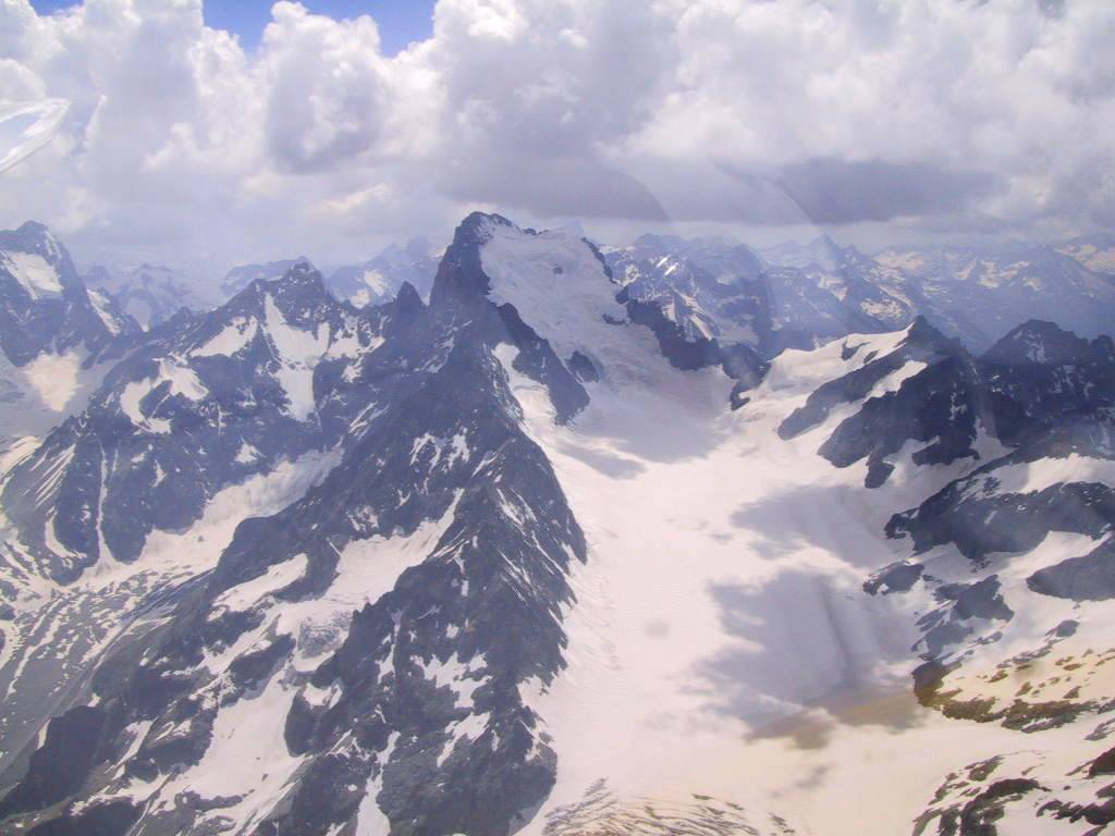
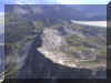
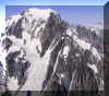
The Barre des
Ecrins and the Glacier Blanc. |
 |
The Patrouille de
France downsizes. |
|
 |
Near the lac
d'Allos. |
 |
Mont Pelat. |
|
 |
To the north of
the Glacier Blanc, in late afternoon sun. |
 |
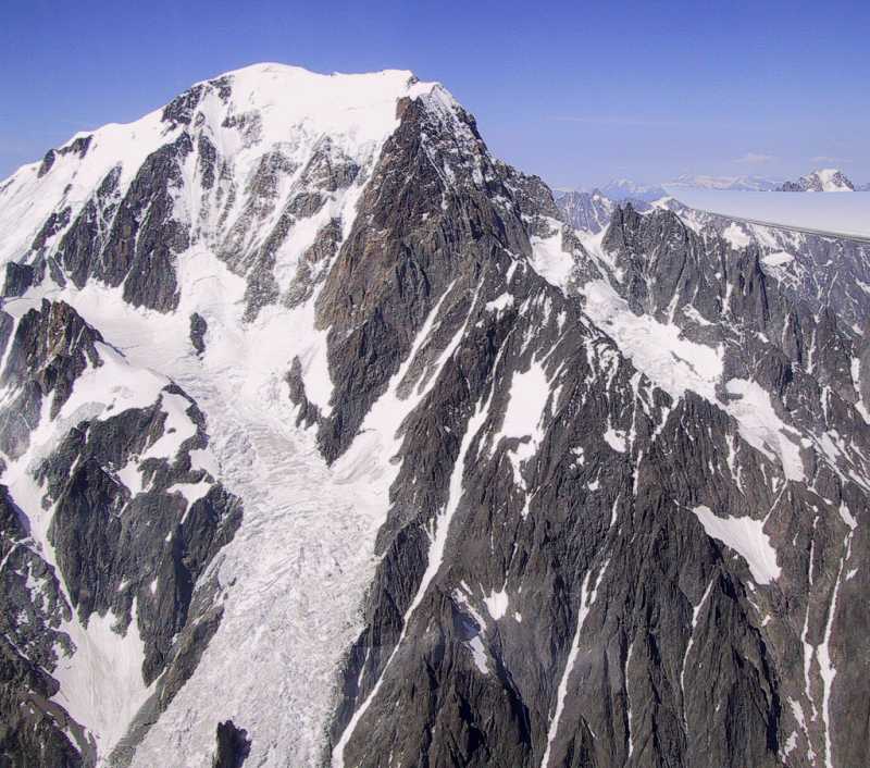
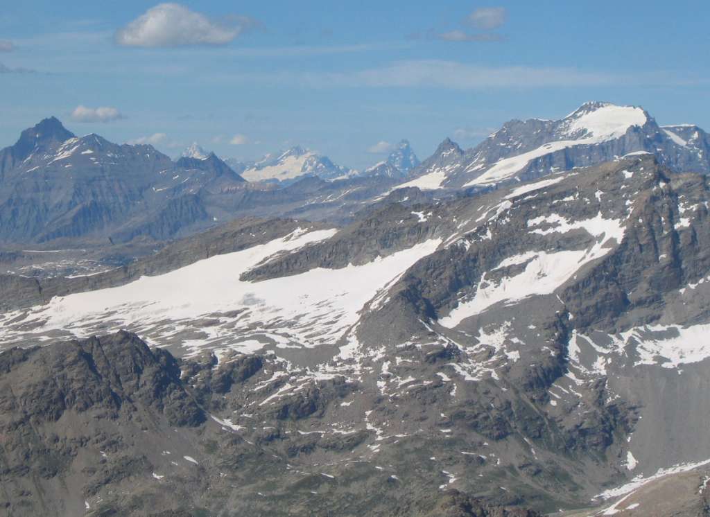
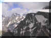
Mont Blanc. |
|
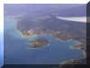 |
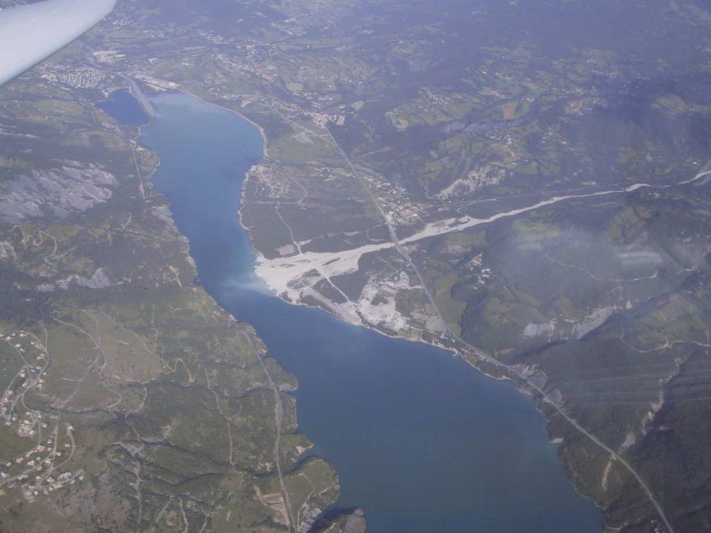
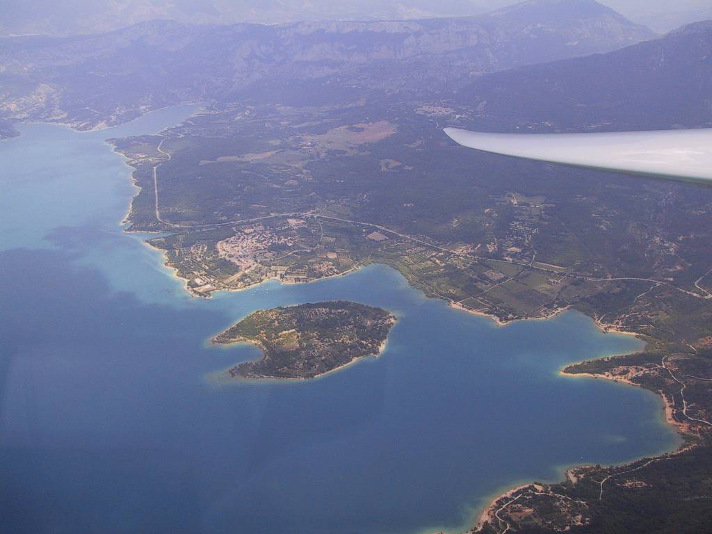
Lac Ste Croix |
 |
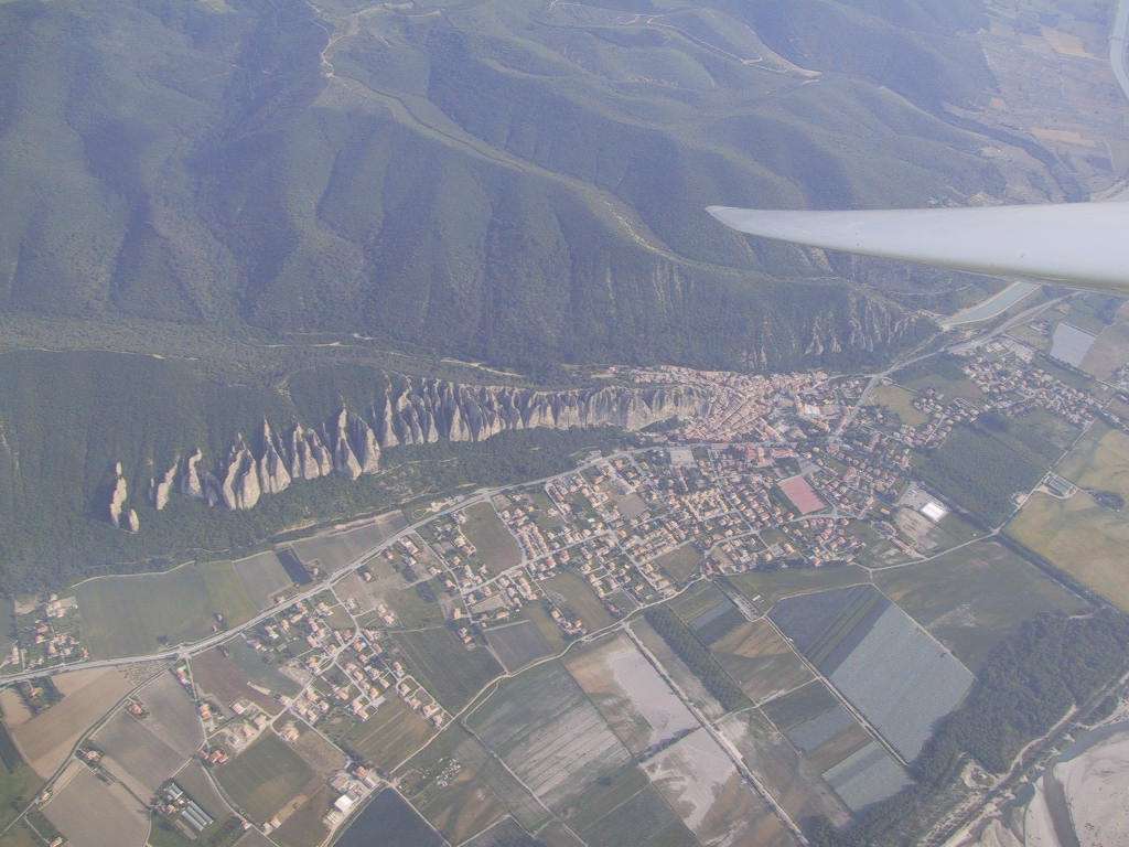
Les Mees, strange
rock formations near St Auban. |
|
 |
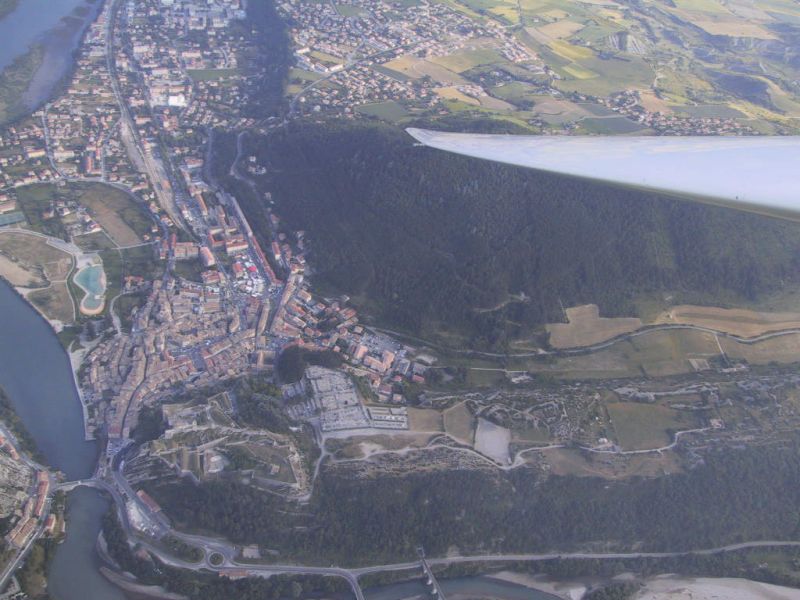
The St Crepin
Valley with its airfield centre of picture. |
 |
Pic de Bure from
the north. |
|
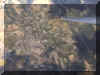 |
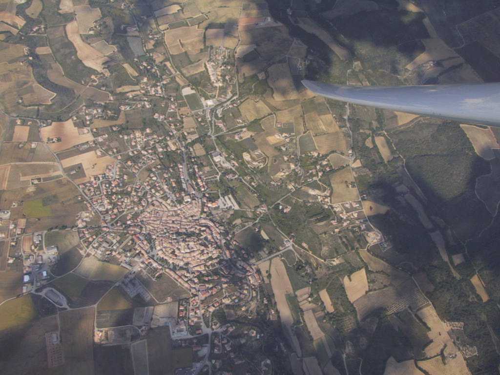
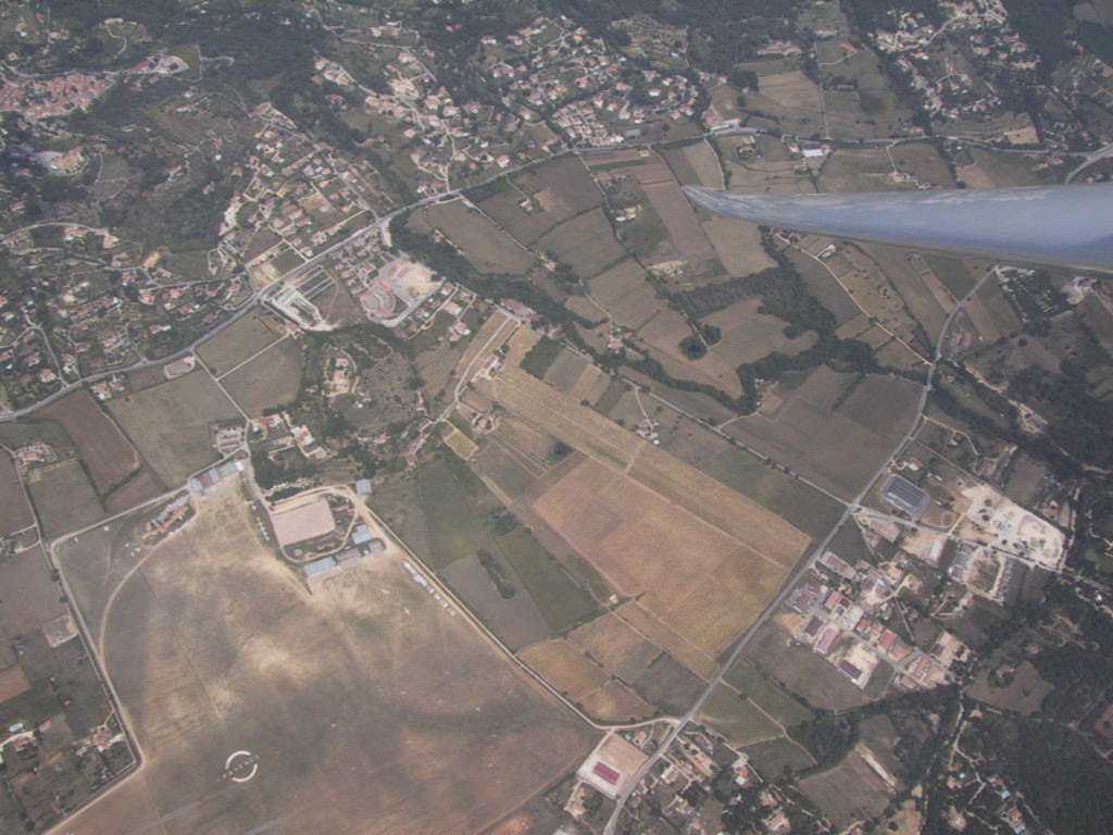
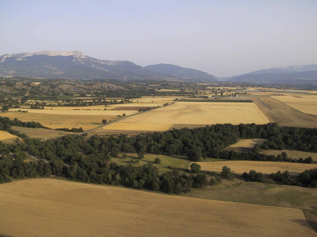
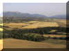
Riez, a typical
provençale town, from the air. |
 |
Fayence, in the
south-east corner of Provence. |
|
 |
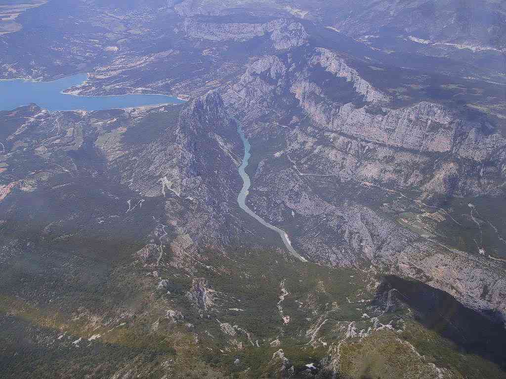
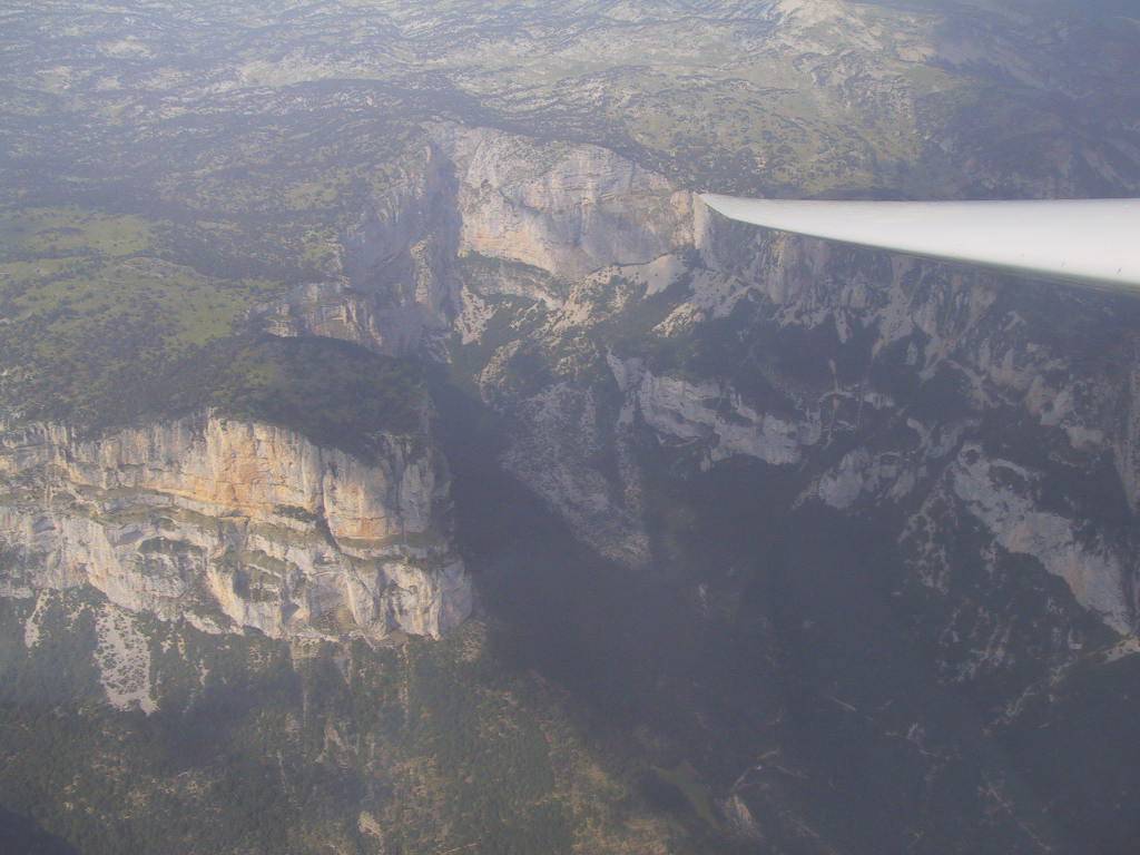
The Gorge du
Verdon as it enters the lac Ste Croix. |
 |
Lakes at le
Taillefer, near le Bourg d'Oisans |
|
 |
In the
Valgaudemar. |
 |
In the
Valgaudemar. |
|
 |
Near the Grande
Tête de l'Obiou. |
 |
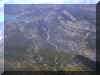
Montagne de
Glandasse, in the Vercors. |
|
 |
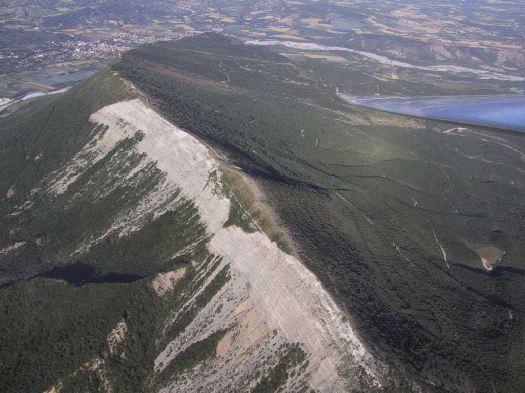
Montagne de
Chabre, near Laragnes. |
 |
Tête de Lucy (or
d'Eslucis on the walking maps) at the lac de Serre-Ponçon. |
|
 |
Looking north
from the col de Carro (Matterhorn right of centre). |
 |
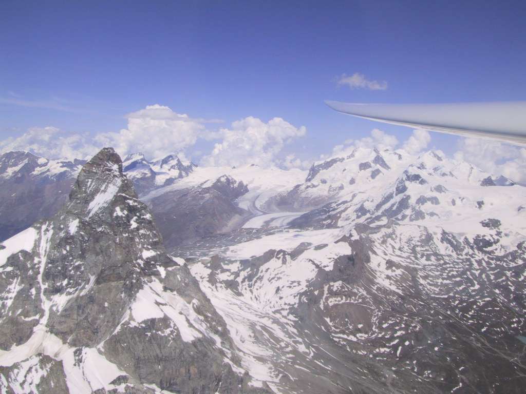
The Matterhorn. |
|
 |
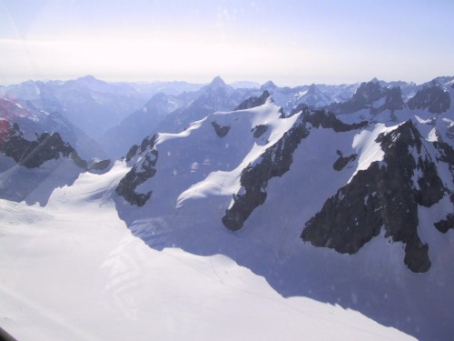
Mont Blanc
massif. |
 |
Dent Blanche,
near the Matterhorn. |
|
 |
Turning onto
final for Sisteron runway 18. |
 |
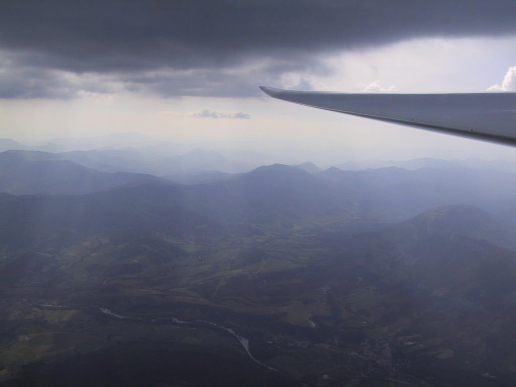
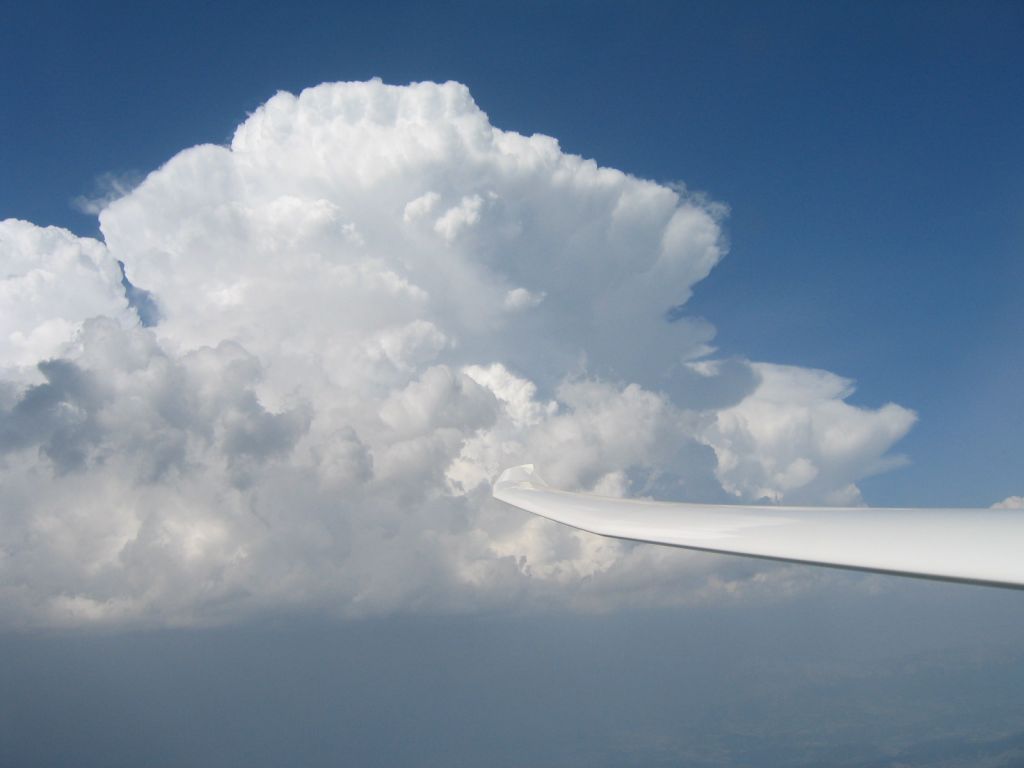
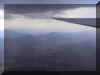
A storm's
a-brewing... |
|
 |
..till next
year... |
|
|